Boundaries & Geography
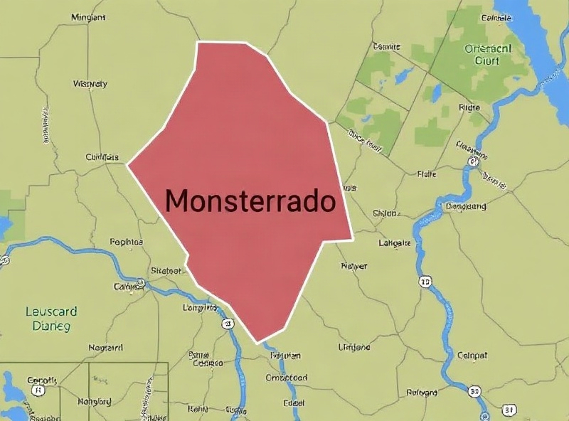
Township Boundaries
Congo Township is located in Monsterrado County, one of the 15 counties of the Republic of Liberia. Our township covers a significant geographical area with diverse landscapes and communities.
Administrative Boundaries
The township's boundaries have been formally established and recognized by the Liberian government under the Local Government ACT framework. The township covers approximately 200 square kilometers with multiple sub-chiefdoms and settlements.
Neighboring Communities
- • North: Todee Township
- • South: Todee Township and Lower Todee
- • East: Todee Township borders
- • West: Todee Township and adjoining territories
Geography & Climate
Congo Township features a diverse landscape with rolling hills, agricultural lands, and river systems. The region experiences a tropical climate with distinct rainy and dry seasons.
Rainy Season: May to October - Critical for agriculture and water resources
Dry Season: November to April - Important for construction and trade activities
Natural Resources
Our township is blessed with natural resources that support our economy and community development:
- ✓ Fertile agricultural lands for crop production
- ✓ Water resources and river systems
- ✓ Timber and forest resources
- ✓ Mineral deposits in certain areas
Major Settlements
Congo Township is home to several significant communities and settlements:
Key Information
-
Area
~200 sq kilometers
-
County
Monsterrado
-
Region
Central Liberia
-
Population
5000+ residents
-
Capital
Congo Town
Regional Context
Congo Township is part of Monsterrado County in the central region of Liberia. Our location provides access to regional trade routes and connects us to neighboring communities throughout the county.